
Wethersfield ZIP Directory Coverage
Official evidence supports three distinct Wethersfield postal observations. Only 06109 is documented in the reviewed sources as the normal street-address code. The 06129 code appears in state and organization material without a located USPS delivery-area map. The 06161 code belongs to the state DMV facility. A sound ZIP code lookup keeps those roles apart.
| ZIP Code | Areas Covered | Post Office | Notes |
|---|---|---|---|
| 06109 | Ordinary Wethersfield street addresses in inspected records | Wethersfield Post Office, 67 Beaver Road | Standard local postal code |
| 06129 | State and organization mailing uses | No separate USPS branch page located | Treat as administrative or PO-box-style evidence |
| 06161 | Connecticut DMV facility at 60 State Street | Facility-specific state address | Not a normal residential search area |
The ZIP code directory includes all three because excluding the odd codes would invite a false match. It does not turn them into three neighborhoods. USPS did not provide a separate public location page defining 06129 or 06161 as delivery areas, and no official Wethersfield ZIP-boundary map was located. That gap should remain visible.
Wethersfield ZIP Code 06109
The USPS Wethersfield Post Office page lists 67 Beaver Road as Wethersfield, CT 06109-9998. USPS bulletin material also pairs 06109 with Wethersfield, and an inspected MapGeo parcel card for Highland Street used the same five digits. Those independent official sources make 06109 the right default for an ordinary local street address.
That does not make every record searchable by ZIP. MapGeo shows Address, Identifier, and Owner as its quick property keys. The land-record portal uses party name, document type, instrument number, book and page, legal description, and dates. Search those systems with their own strong fields, then read the postal code in the returned card or instrument.
The captured USPS page below supplies the postal lead for this Wethersfield ZIP code directory.
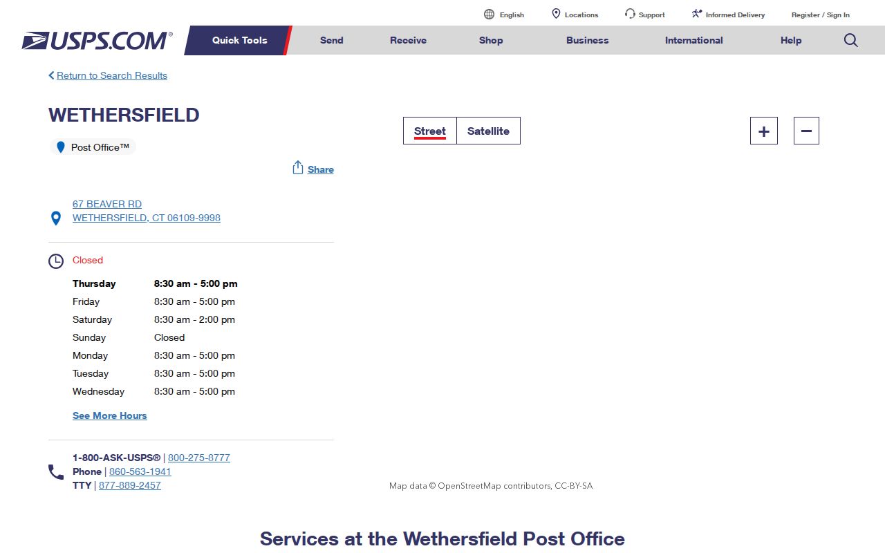
The post office address confirms postal context, not a map of resident locations or municipal limits.
Two Unusual Wethersfield ZIP Clues
A result ending in 06129 needs close reading. Connecticut state address data and organization or town mailing materials use that Wethersfield combination, but research did not locate a standalone USPS branch or demographic delivery-area description. Treat it as a clue about a mailbox or administrative addressee. Do not map it as a distinct residential district.
The 06161 code is more specific. Connecticut DMV pages use 60 State Street, Wethersfield, CT 06161 for title and inspection functions. It is a facility code, not a broad pool of homes. Matching that ZIP should lead to the exact DMV office and the record's stated purpose. Feeding it into a general resident lookup would create noise.
Keep the label. Store 06109, 06129, and 06161 exactly as found, then add Wethersfield and a parcel ID only when another official source supports them.
Find Wethersfield Records by ZIP
Only use a ZIP-wide filter where the official form exposes one. The Judicial Branch civil property-address tool accepts a full five-digit ZIP. DCP eLicense also accepts ZIP with address, city, state, person, business, credential, and status fields. MapGeo and the Town Clerk index rely on other keys, while the voter lookup fields were not captured and must not be invented.
- Verify the source address and its five digits through USPS or the original official record. Do not substitute a nearby code.
- For a civil property matter, enter Wethersfield as City/Town, then add the full ZIP, partial street, property type, and status as needed.
- For a credential, pair ZIP with the person's or business's name and the relevant agency or license type.
- Open the returned detail and identify whether the address is postal, parcel, facility, business, or credential-related.
Once 06109 narrows the area to a street, use the Wethersfield street directory for parcel and deed work. A ZIP code directory is a first filter, not a substitute for a full street address.
Wethersfield Court ZIP Fields
The civil property-address search is the clearest official ZIP-capable portal in the research. It can find address-linked civil cases, but it is not a complete history of a parcel or a roster of residents. City/Town is required and accepts at least three characters. Street Address may be partial, while ZIP Code requires all five digits.
| Field | Entry rule | Meaning |
|---|---|---|
| Case Type | Portal matter choices | Chooses the court matter group |
| City/Town | Required, at least three characters | Use Wethersfield |
| Street Address | Optional partial text | Narrows an exact road or number |
| ZIP Code | Full five digits | Filters the indexed property address |
| Property Type | Portal category choices | Describes the property category |
| Case Status | Active, Disposed, or All | Controls current and closed results |
Foreclosure coverage begins January 1, 2014 across judicial districts. Some disposed case data may be removed under current rules. Always save the search date, case number, court, and status.
The screenshot below comes from that official ZIP-capable search.
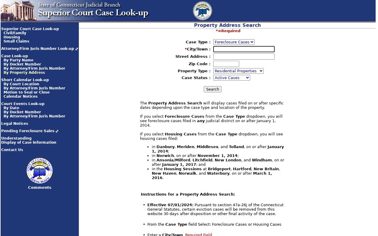
Its field design shows why a ZIP should be paired with town, street, case type, and status.
Wethersfield Credentials by ZIP
DCP eLicense supports ZIP filtering, but its output is a credential record. The form also offers agency or license type, prefix, credential number, status, business or DBA name, first and last name, address, state, city, and country. Use several fields together so an administrative or facility ZIP does not swamp the result.
The official eLicense search is a real-time primary source spanning more than 850 credential types and agencies.
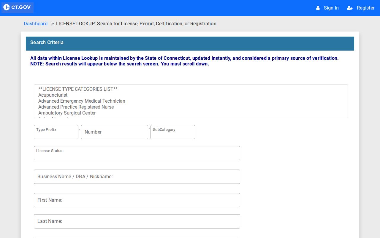
Read the credential type, number, agency, status, city, and search date. A listed address may be a practice or business location, not a home.
Label Wethersfield Address Types
One word, “address,” can describe several facts. MapGeo separates the parcel's site address from the owner's mailing address. A court page stores the address linked to a case. A credential may show a practice site. The DMV code identifies a state facility. A historical directory may predate modern ZIP codes and describe an older street or village instead.
| Address label | What to retain |
|---|---|
| Situs or site | The physical parcel location |
| Mailing | Where an owner or organization receives mail |
| Facility | The exact public office and its special code |
| Historical | Source spelling, publication year, and old place name |
This distinction matters in Old Wethersfield, Griswoldville, the Cove, and Great Meadow. Place names may help locate a map or archive, but they should not be converted into ZIP polygons without official evidence.
Wethersfield ZIPs Are Not ZCTAs
The Census Bureau uses ZIP Code Tabulation Areas, or ZCTAs, as generalized statistical areas. USPS codes support mail delivery. Their boundaries and purposes differ. A statistic labeled for a ZCTA should remain a ZCTA statistic, not become a claim about all people receiving mail through that ZIP.
The Census ZIP and ZCTA guidance explains the distinction.
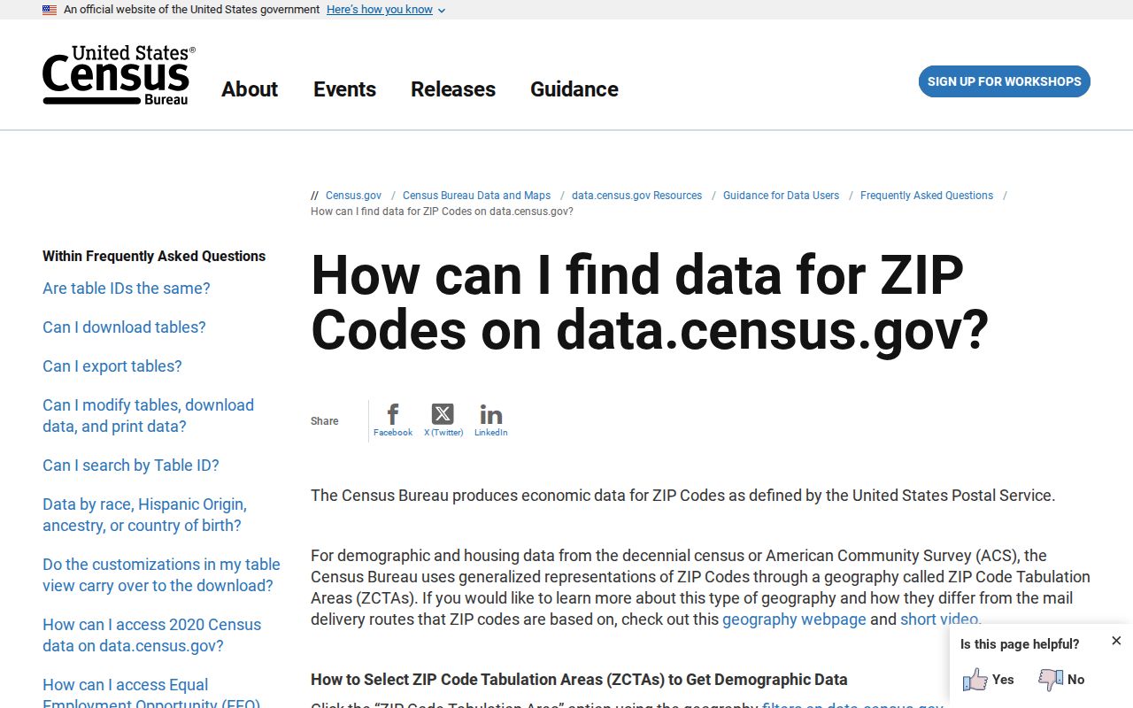
That warning prevents demographic estimates from being mistaken for a postal resident list.
Wethersfield ZIP and Town Limits
A postal label is not a municipal boundary. The reviewed sources support 06109 as the ordinary Wethersfield code, but they do not supply an official town-specific ZIP polygon. The other two codes prove why the difference matters: 06129 appears as an administrative or mailbox clue, while 06161 identifies one state facility. Neither should be read as a new residential quarter.
For municipal identity, rely on the Town Assessor, MapGeo parcel ID, Town Clerk instrument, and the department that created the record. For postal identity, retain the exact USPS or source label. For historical identity, keep the old street, village, and publication date. This layered method is more accurate than forcing every record into one ZIP code directory boundary.
- ZIP vs ZIP+4
- A five-digit delivery area versus a four-digit add-on that narrows a delivery segment.
- PO-box ZIP
- A code used chiefly for post-office-box mail, not a mapped set of homes.
- Unique ZIP
- A code assigned to one large organization or facility.
- Carrier route
- A postal delivery path that does not equal a town or census boundary.