
Wethersfield Previous-Resident Sources
No single Wethersfield roll covers every era or proves both ownership and occupancy. The useful sources change as the trail moves back. Current MapGeo data can identify a parcel and its last-sale reference. The Town Clerk index then supplies the recorded transfer trail from 1970 forward. Earlier work moves to deed books, archival indexes, dated directories, maps, and manuscripts. A record should be read for its own purpose: an assessor card labels an owner, a deed conveys an interest, and a directory or census can place a household near a date.
| Source | Years It Covers | Where Held | What It Shows |
|---|---|---|---|
| MapGeo parcel record | Current municipal layer | Wethersfield Assessor and MapGeo | Parcel ID, situs, owner label, mailing address, last sale, book/page |
| Land-record index | 1970 to present online | Wethersfield Town Clerk | Parties, document type, dates, instrument, book/page, legal description |
| Hartford-area directories | Edition-specific; 1929 and 1930-31 include Wethersfield | State Library, National Archives list, digitized volumes | Dated names, addresses, occupations, and civic ties |
| Historical manuscripts and maps | Collection-specific | Wethersfield Historical Society and State Library | Old road names, buildings, photographs, family and place context |
| Census, probate, cemetery, newspapers | Series-specific | Archives, library databases, Probate Court, local collections | Households, estates, life events, inscriptions, and dated notices |
Begin at the newest reliable record and work backward one event at a time. For a twentieth-century Wethersfield house, the parcel and deed route is usually the firmest spine. For a colonial property or an address that no longer matches the map, begin with the old name and collection date, then use bounds, nearby owners, landmarks, and later deeds to bridge the gap.
Wethersfield Previous-Resident Deed Chain
The deed chain follows ownership, not every person who lived in the building. Start with the current parcel in MapGeo. Save the municipal ID, current situs address, owner label, sale date, and book/page. The book/page handoff is more exact than a broad name search. Then open the Wethersfield land-record index, where the searchable online period is advertised as 1970 to the present.
- Confirm the parcel and copy its current legal-record clues. Keep the owner mailing address separate from the physical situs address.
- Search the sale book/page or instrument first. Read the grantor, grantee, recording date, document type, references, and legal description.
- Take the seller's name backward. Search that prior owner in both party roles and filter for deeds rather than mortgages or releases.
- Compare each legal description. A split, merger, trust transfer, estate, correction deed, or quitclaim can break a simple name-only trail.
- When the chain crosses the online cutoff, contact the Town Clerk for older books, indexes, and copies rather than assuming the trail ends.
- Grantor
- The party giving or conveying an interest in the recorded instrument.
- Grantee
- The party receiving that interest. In a purchase deed, this is usually the buyer.
- Chain of title
- The linked sequence of recorded transfers for the same land.
- Legal description
- The deed's lot, map, bounds, or parcel wording. It can identify land when a street name or number has changed.
The Town Clerk deed-search screen shows the fields used for that backward trail.
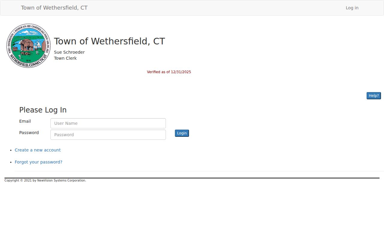
Its party, document-type, instrument, book/page, legal-description, and date controls support a reproducible search, although current images may require authorization or login.
Wethersfield Previous-Resident Address Aliases
An exact current address can miss earlier residents because Wethersfield's road labels changed. The Historical Society's street-life history reports that Main Street was divided among High Street, Rose Lane, and Bell Lane. State Street was Fort Street. Hartford Avenue appeared as Hartford Way, while Garden Street included Fletcher Lane and Watering Lane. Wolcott Hill Road was laid out in 1868.
The Wethersfield street-life source preserves the local road-name clues shown here.
Those names are search aliases, not automatic one-to-one replacements for every modern house number.
Keep a two-column worksheet with the spelling found in the source and the modern normalized form. Add the source date, nearby owner, house or landmark name, parcel or deed reference, and a confidence note. Never replace the historic form in the transcription. The current map says Wintergreen Lane, while a 1952 Town Engineer memo discussed in local history concerns an attempted Wintergreen Street renaming. The ordinance sequence was not located, so council minutes or road records are needed before calling that a formal change.
| Historic label | Modern search bridge |
|---|---|
| High Street, Rose Lane, Bell Lane | Test against Main Street landmarks, deeds, and neighbors |
| Fort Street | Compare with State Street |
| Hartford Way | Compare with Hartford Avenue |
| Fletcher Lane, Watering Lane | Compare with Garden Street |
Note: No official town-wide street-number renumbering ledger was found, so a changed number needs deed, map, assessor, or engineering proof.
Wethersfield Past Household Trail
Ownership is only half the question. Previous residents may include relatives, boarders, workers, or other occupants who never appear as grantees. Hartford directories from 1929 and 1930-31 explicitly included Wethersfield, and a 1928 Trade in Wethersfield Week directory provides a local civic and business snapshot. The March 18, 1929 Hartford Courant Wethersfield Grand List can bridge a newspaper entry to property research. The full collection context belongs with the Wethersfield city directories, while an address timeline uses each edition only as one dated observation.
- Search the closest directory edition by surname and by street or business clue. Record the exact printed address and edition year.
- Compare a nearby available census schedule. Use the household, age, relationship, and enumeration context only as that census recorded them.
- Check the next and prior directory editions. A gap may mean a move, a missed edition, an OCR problem, or different town coverage.
- Test the same name in newspapers, probate, cemetery, and vital indexes. Keep each event date separate from the residence date.
The Historical Society's homebuilders research adds names and building context for early suburban growth.
That local context can suggest a builder or development-era search, but it does not replace the deed that ties a legal parcel to an owner.
Wethersfield Previous-Resident Research Routes
The Connecticut State Library Old House Research guide joins land records with city directories, maps, photographs, the Colonial Dames Old House Survey, and local historical societies. This is a useful fallback when a deed gives a bounds description but no familiar street number. State Library catalogs and indexes can also point to probate, census, vital, newspaper, and archival series.
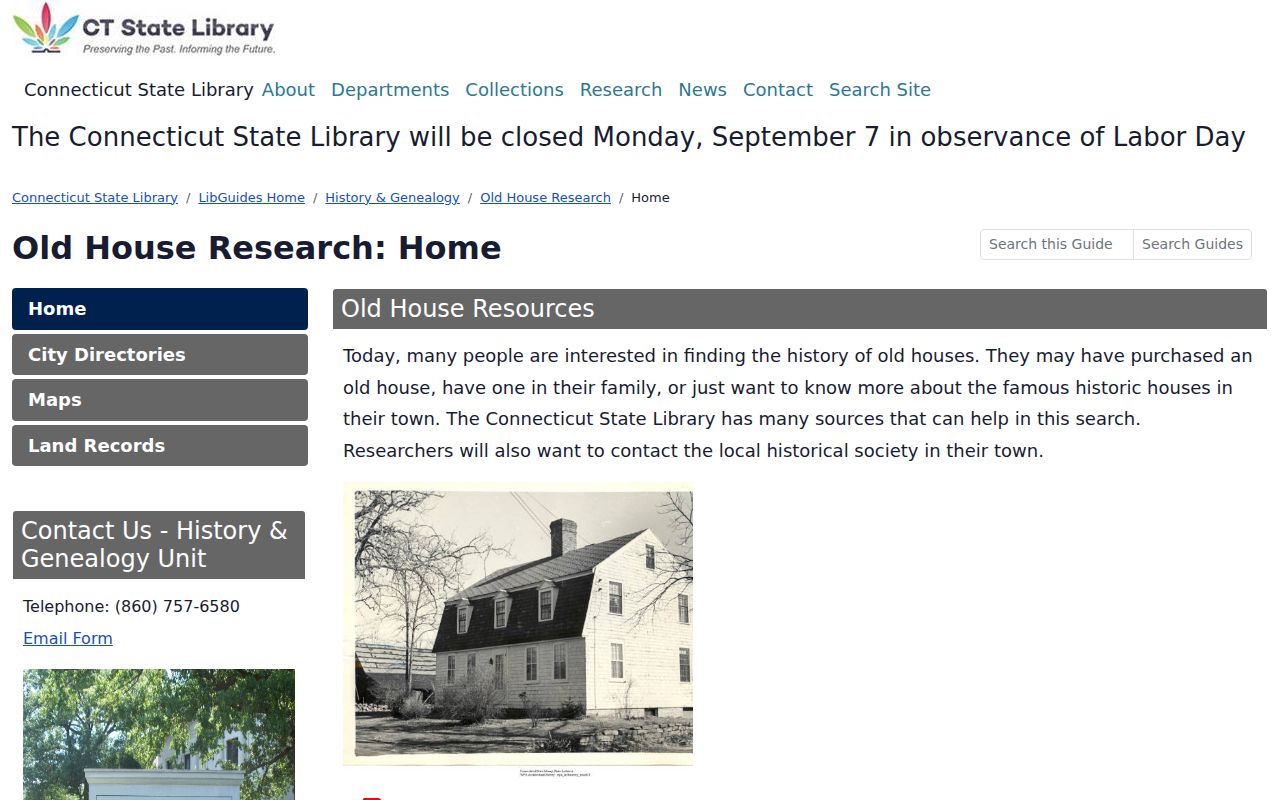
The guide turns the search into a source-by-source house biography instead of an unsupported list of names.
The Wethersfield Historical Society research library at the Old Academy holds manuscripts, photographs, books, maps, newspapers, genealogies, and family files, with research arranged by appointment. Ask about a building as well as a person. A photograph caption or old house name may preserve the street wording needed to restart a stalled deed or directory search.
Wethersfield Previous-Resident Map Gaps
Fire-insurance maps can show building footprints, materials, uses, and changes near a dated address. The Library of Congress Sanborn search guide explains searches by state, city, edition date, and sheet. Yet no standalone Wethersfield Sanborn edition or year run was found in the official search. A reference to 1927 material at the State Library does not establish a Wethersfield edition.
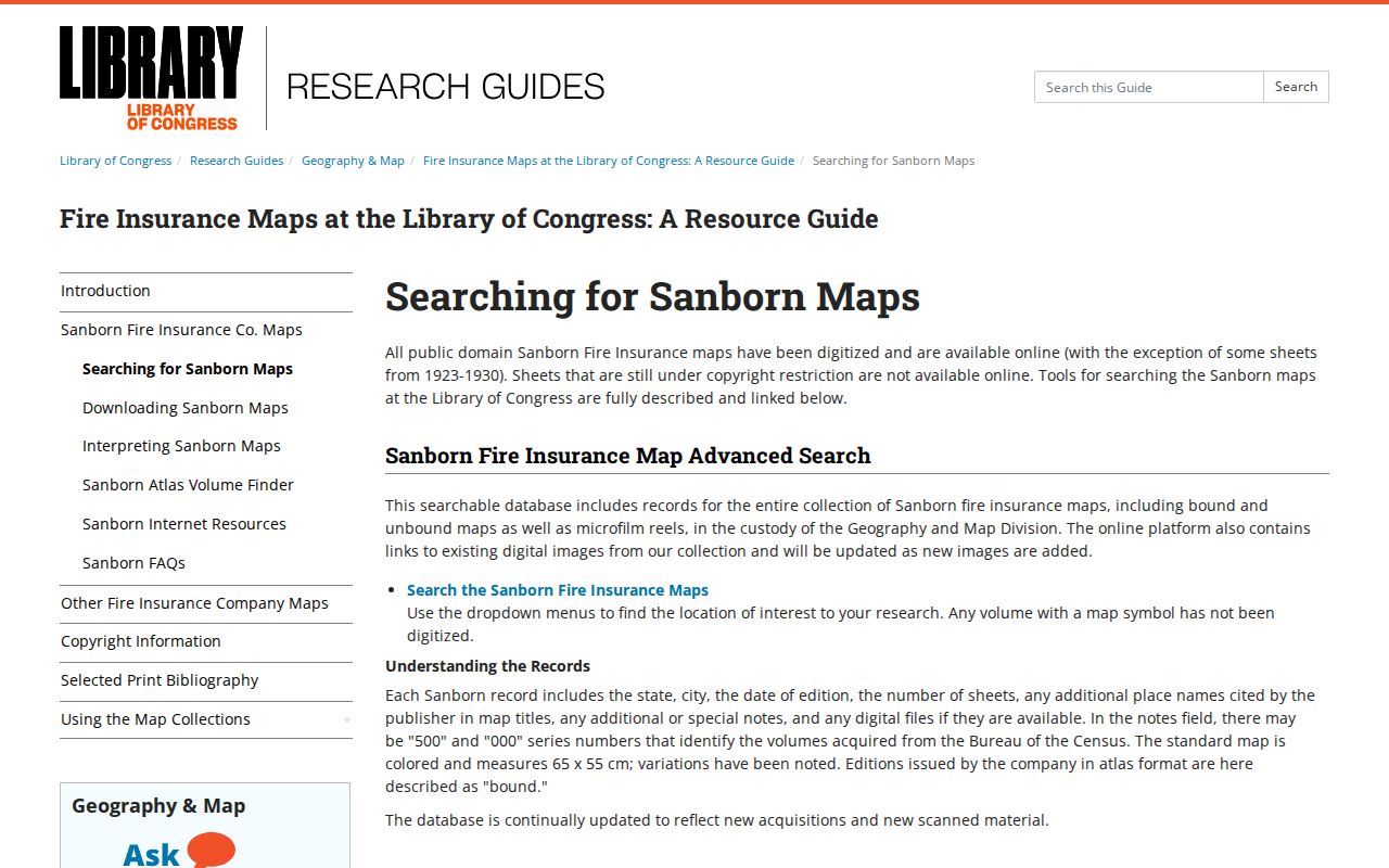
The correct response to that gap is to ask the State Library or Historical Society about the address, map title, and sheet, not to assign a Hartford sheet to Wethersfield without proof.
Modern geography can also distort the older scene. Silas Deane Highway was built in 1930, and I-91 was built in 1960 through the Great Meadow. Older directory and map references near the Cove or river may therefore describe routes and connections unlike the current parcel view.
Confirm Wethersfield Previous Residents
A directory name becomes stronger when an independent source agrees with its date and place. The Historical Society's Ancient Burying Ground project includes plotted markers with names, dates, inscriptions, notes, and coordinates, but unmarked early burials mean it cannot serve as a complete death index. Obituaries may connect relatives and former addresses. Probate can identify an estate and interested parties, though it does not prove that each named person occupied the house.
For probate before January 8, 1975, the State Library route points to Hartford Probate District records. Later Wethersfield matters route through Newington Probate District PD-07 and the Connecticut Probate case lookup. The State Archives also has a Wethersfield Prison Records name index for 1800-1903. That is an institutional series, not proof of a home address or a person's later character.
The strongest timeline labels every statement by source: deed owner, directory occupant, census household member, obituary subject, or archival name entry. If two sources disagree, preserve both forms and seek the record created closest to the event.
Lawful use. Research Wethersfield previous residents for family history, property history, or personal curiosity. Never use a living person's address information to track, threaten, or harass them.