
Walk a Wethersfield Street Directory From Address to Evidence
Begin with the exact Wethersfield address as it appears in the source you already have. A street directory search becomes far more reliable when each step preserves the original spelling, unit, ZIP, and date. Current MapGeo data can identify a parcel and owner label, but it is not an occupancy roll. The Town Clerk index records legal instruments, while voter and print sources may add dated residence clues.
- Enter the street or full situs address in MapGeo and save the municipal identifier.
- Compare the owner label and mailing address, keeping both separate from the situs.
- Carry the last-sale book and page to the Wethersfield Town Clerk land index.
- Check the municipal Elections route only for the voter record purpose and respect protected addresses.
- For an earlier household, search the address and its old street aliases in dated Hartford-area directories.
This order moves from a stable parcel key toward more limited person evidence. If the goal narrows to one named person, use the Wethersfield resident lookup workflow instead of treating a whole street as a person index.
Search Wethersfield Streets in MapGeo Without Mixing Fields
The official Wethersfield MapGeo property dataset is the main street-by-street map. Its controls distinguish the site from the owner mailing destination and provide the municipal ID that can survive small address-format changes.
| MapGeo area | Visible field or tool | Use in an address search |
|---|---|---|
| Property | Address; Identifier | Match the situs and preserve the stable municipal parcel key. |
| Ownership | Name; Address | Read the owner label and owner mailing line as separate fields. |
| Valuation | Total or assessed value; land value; last sale; book/page | Label the assessment context and hand a recorded-sale clue to the Town Clerk. |
| Land | Zone | Record the current zoning label without inferring use or occupancy. |
| Viewer | Selection; Themes; Markup; Abutters; Share; Print | Inspect nearby parcels and save a reproducible map view. |
The viewer warns that its data can include third-party information and may not be complete. Confirm any fact that matters with the Assessor, the property card, or the recorded instrument.
Wethersfield Street Directory Terms That Keep an Address Honest
A few record terms prevent large errors when a Wethersfield street search crosses from a map to a deed or older volume.
- Parcel
- A mapped unit of land identified by a municipal or GIS key; it is not a list of everyone at the site.
- Situs address
- The assessor or GIS label for the property location, distinct from the owner mailing address.
- Plat
- A recorded map that can identify lots, lines, roads, or subdivisions and may use a book or page reference.
- Criss-cross directory
- A later directory format arranged by street or address rather than only by surname; no confirmed Wethersfield run was found in the official local inventory.
When a source uses only a legal description, do not force it into a modern street number without a map, parcel, or deed bridge.
Address-Keyed Wethersfield Records for a Street Directory
Wethersfield keeps no single complete roll of everyone along a road. The useful street directory is therefore a coverage map of sources, each with a clear custodian and limit.
| Address source | Wethersfield keeper | What the source contributes | Access limit |
|---|---|---|---|
| Parcel and assessment layer | Assessor and MapGeo | Situs, municipal ID, owner label, mailing line, values, zoning, sale clue | Current layer with accuracy and date cautions |
| Recorded land index | Wethersfield Town Clerk | Party, instrument, document type, book/page, legal description | Online index advertised from 1970; images may require login or copies |
| Permit material | Building and OpenGov | Address-linked application, construction, inspection, or certificate activity | Older system material may require a department request |
| Civil property-address search | Connecticut Judicial Branch | City/town, street, ZIP, type, status, and property fields | Display, date, retention, and session limits apply |
| Historical print and archive sources | Libraries and Wethersfield Historical Society | Dated names, addresses, occupations, maps, photos, and street spellings | Coverage varies by year; OCR and catalog hits need page checks |
The parcel ID and book/page are the strongest bridge between the current map and legal record. A name or address in one row should not be copied into a different record category without checking what that second source actually says.
Carry a Wethersfield Book and Page to the Town Clerk
The Wethersfield land-record portal accepts Party Name in last-name, first-name order, a document-type tree, town, and date range. Separate tabs cover instrument number, book/page, and legal description. Current document codes include deeds, mortgages, assignments, releases, liens, judgments, easements, maps or plats, probate records, and related filings.
For street research, start with MapGeo's last-sale book/page when it is shown. Open the indexed instrument, if access allows, and read the party names, legal description, dates, and links rather than treating the assessment summary as the deed. The street directory chain is reproducible when you save the municipal ID, book type, book/page, and instrument number. The portal advertises its online index from 1970 forward. Earlier work may move to the Town Clerk at 505 Silas Deane Highway or an archive route.
Old Wethersfield Road Names Can Defeat an Exact Search
Wethersfield Historical Society street history makes the old-road problem concrete. Parts of today's Main Street were once called High Street, Rose Lane, and Bell Lane. State Street appeared as Fort Street, Hartford Avenue as Hartford Way, and Garden Street included Fletcher Lane and Watering Lane. A past address may be perfectly accurate in its own year and still fail in a current map.
| Current search area | Main Street | Test High Street, Rose Lane, and Bell Lane in dated sources. |
|---|---|---|
| Current road | State Street | Test Fort Street. |
| Current road | Hartford Avenue | Test Hartford Way. |
| Current road | Garden Street | Test Fletcher Lane and Watering Lane. |
Wolcott Hill Road was laid out in 1868, while a 1952 memo mentioned an attempted Wintergreen Street renaming. The exact ordinance sequence was not located. Preserve both Wintergreen forms and ask for town road or council records before claiming that a formal change occurred.
Wethersfield Permits Add a Dated Address Layer
The Wethersfield Building Department identifies OpenGov as the current permit system and says City Squared is no longer used. A permit can date an application, alteration, inspection, or certificate event at an address. Planning and Zoning provides the map and district context, with zoning regulations dating to May 24, 1926 and subdivision regulations dating to March 16, 1955.
Search the exact site address first, then try any unit, parcel, old street name, or legal-description clue already supported by a record. If the current portal does not show older material, request the releasable record from the department that created it. This is more sound than assuming a blank result means no work took place.
Keep each permit date tied to its event. An application date, issue date, inspection date, and certificate date do not mean the same thing. A contractor or applicant name reflects a role in that file, not a household list. When a portal transition hides an older item, describe the street, approximate year, permit type, and parcel key in a focused request. Connecticut FOI can be the fallback for an existing, nonexempt municipal record, but the request belongs with the department that keeps it.
Wethersfield Roads Changed the Map, Not Just the Label
Silas Deane Highway was built in 1930, and I-91 was built in 1960 and raised through Great Meadow. The latter cut the Cove from its former river connection. These changes explain why a mid-century Wethersfield street directory, photograph, or map can show routes and nearby features that do not line up with today's parcel viewer.
Use a dated map with the dated address. Then compare landmarks, lot lines, adjacent owners, house names, and deed bounds. This local comparison is especially useful around Old Wethersfield, the Cove, Great Meadow, and roads altered by later transport projects. A modern ZIP or map pin alone cannot resolve the old landscape.
Cite map evidence by date and layer. The present viewer shows current parcels, zoning, themes, and abutters, while an older plan can show a road before a highway cut or a place label no longer used for mail. Compare the views and mark only what persists, such as a road bend, lot line, named landmark, or chain of adjoining owners. Similar position is a lead, not proof.
See the Wethersfield Parcel Search in Its Source Setting
The official MapGeo property search provides the visual source for the street-by-street parcel layer.
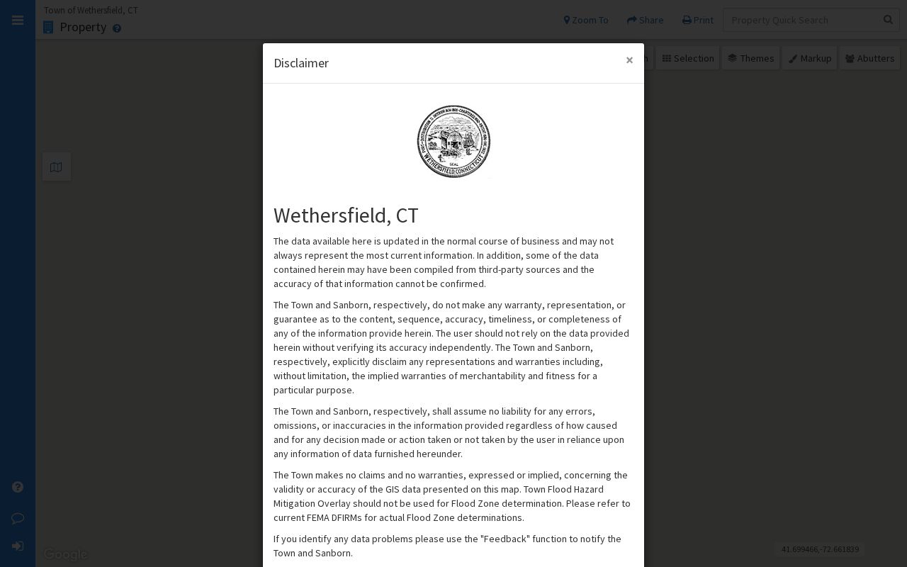
The captured page shows the map and property-search setting readers should use before carrying a parcel ID or book/page into another system.
Date a Wethersfield Address With Print and Archive Clues
Hartford-area directories from 1929 and 1930 to 1931 explicitly included Wethersfield. The Historical Society also identifies a 1928 Trade in Wethersfield Week directory and a March 18, 1929 Hartford Courant Grand List with property listings. Each clue is dated and should remain tied to its edition, page, and town-coverage statement.
For deeper work, the Old Academy research library holds maps, manuscripts, newspapers, genealogies, account books, and photographs of buildings and people. Ask for a photograph by building as well as by surname; a caption may preserve an old house or road name. The historical shelf itself is covered in the Wethersfield city directory guide.
Privacy Boundaries of a Wethersfield Street Directory
A parcel owner label does not identify every person at a Wethersfield address. A mailing line is not proof of residence, a permit names people only in the permit's role, and a directory entry records what one dated publication printed. Voter Privacy and the Address Confidentiality Program can suppress or substitute specific address disclosures. No-result searches are not proof that no record or person exists.
Lawful use. Use address records for lawful personal, family, property, or civic research. Never use them to stalk, harass, intimidate, or harm anyone.
Keep only the fields needed for the question, retain source dates, and confirm consequential details with the office that holds the record. That discipline makes a Wethersfield street directory useful without turning uncertain hints into claims about a household.
A good working note also states what was not shown. Mark owner, occupant, mailing recipient, applicant, voter, and historical addressee as different roles. Save the municipal ID and source date, but avoid collecting fields that do not answer the research question. If an address is protected, substituted, withheld, or absent, do not try to defeat that safeguard through another source. The public status of one record never creates a right to misuse it or merge it into a speculative street roster.