
Wethersfield Neighbor Record Layers
Official sources answer different questions about a Wethersfield block. MapGeo can show parcel geometry and the owner label carried in municipal property data. The assessor layer may show where owner mail goes, but that address is not proof of residence. Polling sites describe civic geography, not everyone on a block. Community organizations add place context without establishing who belongs to them. Treating these as separate layers prevents a parcel owner, voter, and club member from being merged into one unsupported profile.
| Source | What It Shows About a Block | Access |
|---|---|---|
| MapGeo Abutters | Nearby parcel shapes, municipal IDs, situs labels, and owner labels | Public viewer with distance control |
| Assessor property data | Current parcel and assessment context, including owner mailing address | Assessor page, MapGeo, property card |
| Town map and POCD | Road, planning, land-use, and named-area context | Town Quick Links and planning documents |
| Elections records | Polling districts and controlled voter information | Local registrar and state rules |
| Town Guide organizations | Civic, history, conservation, business, and recreation connections | Public guide and organization pages |
A parcel owner may live elsewhere, and a nearby resident may own no land. Wethersfield neighbors therefore cannot be reduced to one tax-roll list. Use the parcel map to define the physical area first. Then add only the official or institutional context needed for the question.
Map Wethersfield Neighbors by Radius
The MapGeo Abutters view supports a small-radius search around a selected property. It carries an abutters-distance parameter and the property layer includes situs, municipal ID, owner label, mailing address, values, sale clues, and zoning. Those fields describe parcels. They do not identify every occupant.
- Search the subject address and confirm its situs label and municipal ID. Do not start from the owner mailing address.
- Select the parcel, turn on Abutters, and record the chosen distance. A fixed radius makes the result repeatable.
- Save each nearby parcel ID and situs address before noting its owner label. Check whether roads, rights-of-way, or water separate the shapes.
- Open individual parcel details for the record date, mailing address, sale clue, and property-card link. Label owners as owners, not occupants.
- Save or print the view with the search date, distance, map layer, and scale. Dynamic parcel data can change.
The captured Wethersfield abutters inspection shows how one address becomes a bounded parcel search.
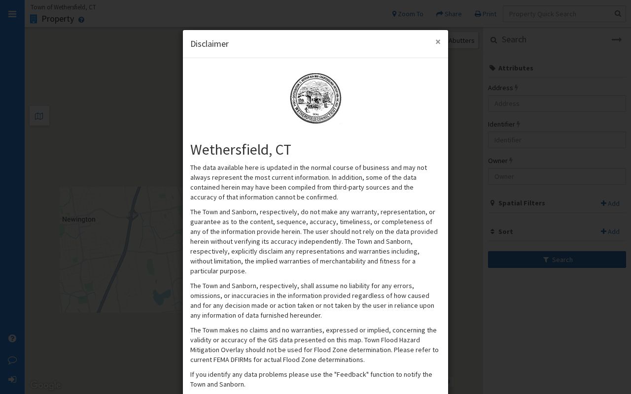
The visible parcel context is useful evidence of proximity, while each owner's identity and any claim of occupancy still require separate verification.
Three Kinds of Wethersfield Neighbors
Wethersfield has at least three useful meanings of neighbor. A geometric neighbor owns or occupies a parcel that touches or lies near the selected parcel. A civic neighbor shares a polling district, planning area, or public project. A community neighbor connects through a voluntary group, institution, event, or place. These layers may overlap, but none proves the others.
| Neighbor layer | Best evidence | Limit |
|---|---|---|
| Geometric | MapGeo parcel boundary and chosen distance | A road, river, easement, or parcel shape can complicate proximity |
| Civic | Town map, polling district, planning document | A district is not a personal relationship or name list |
| Community | Town Guide, event records, organization publications | An organization listing does not prove membership |
This distinction is especially important near the Cove, Great Meadow, and major roads. A parcel across I-91 or a right-of-way can appear close by distance while belonging to a very different street setting. The block itself should be defined before any names are collected.
Note: For a full road rather than a small radius, use the Wethersfield streets page and keep this search focused on the immediate block.
Wethersfield Neighborhood Names Need Context
The official Plan of Conservation and Development describes a mainly residential town with Old Wethersfield, Griswoldville, and newer development areas. Other local sources use Main Street and the Cove, Great Meadow, and later subdivisions. These are useful planning and history labels. They are not postal ZIP boundaries, private-association boundaries, or proof that a given resident uses the same neighborhood name.
Wethersfield's transport history also changed the meaning of nearby. Silas Deane Highway arrived in 1930. I-91 was built in 1960 through the Great Meadow and separated the Cove from its older river connection. A historic map may place two sites in a shared landscape that a modern road network divides.
The Town Community page provides the official local setting shown here.
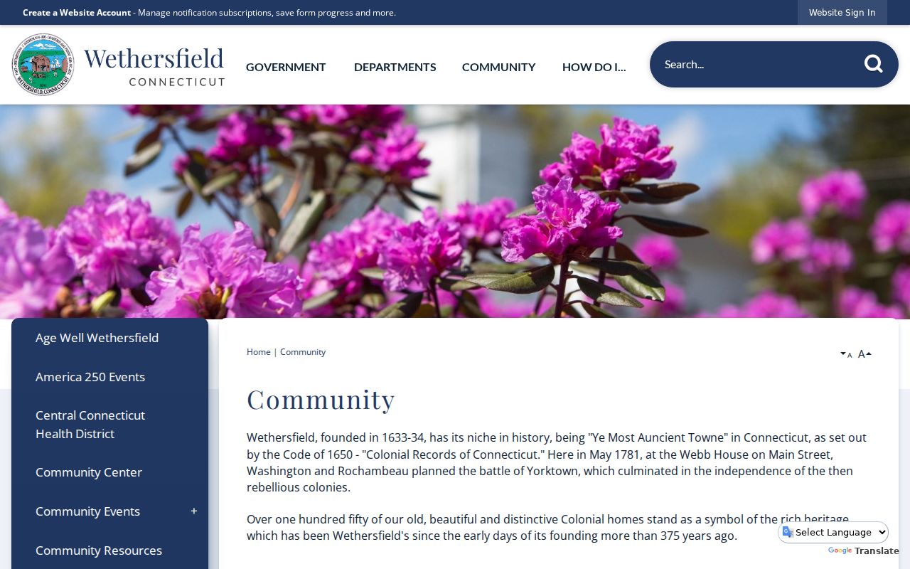
Use that context to describe the block's setting, then return to current parcels for any address-specific claim.
Community Leads for Wethersfield Neighbors
The Town Guide and Quick Links identify public-facing organizations that can explain a place, event, or old street reference. They are research leads, not resident rolls. A mailing address belongs to the organization unless another source proves that it is also a person's home. Membership must never be inferred from proximity, a photo caption, or an event notice.
History and library
The Wethersfield Historical Society and Wethersfield Public Library route searches to local photographs, newspapers, manuscripts, databases, and reference help.
Historic-center groups
The Business & Civic Association, Chamber, and Old Wethersfield Shopkeepers Association can provide dated business and event context.
Land and place groups
The Beautification Trust and Great Meadows Conservation Trust connect names to civic projects and place history, not parcel ownership.
Community activity
The Cove Yacht Club, nature-center friends, Fife & Drum, Rotary, and other groups may surface programs and dates without supplying household lists.
Search a group's own current publication or an official event record when a community connection matters. Preserve the publication date because officers, contact addresses, and program names change.
Wethersfield Voters Are Not Block Lists
The Wethersfield Elections office maintains voter names, addresses, party enrollment, and election records, and the town has six polling districts. Polling places are civic reference points. They should not be turned into a list of nearby households. Connecticut's centralized file has controlled access, a use certification, and privacy rules. An online lookup is designed to check a registration, not browse every person around an address.
The Secretary of the State's Voter Privacy Program can prevent disclosure where an applicant swears that release could endanger the person or family. Connecticut's Address Confidentiality Program can provide a substitute mailing address for eligible participants. Neither program erases every record held by every agency, so one missing voter result should not be filled with guesses from another source.
For legitimate civic research, use published district boundaries, polling locations, and aggregate results. If an existing nonconfidential record is needed and no routine channel provides it, direct a narrow Connecticut Freedom of Information request to the agency that keeps the record.
Official Wethersfield Neighbor Sources
Commercial neighbor tools often blend old addresses, public filings, and purchased data without showing when each item was collected. Official sources are narrower, but their purpose and custodian are clear. For parcel questions, that clarity matters more than a long list of loosely connected names.
| Measure | Official Wethersfield source | Commercial category |
|---|---|---|
| Source purpose | Assessment, mapping, elections, planning, or public administration | Compiled search product |
| Date and field meaning | Often tied to an assessment, map layer, district, or filing | May combine records from different dates |
| Correction route | Named municipal or state custodian | Vendor process varies |
| Best use | Verify a parcel, boundary, district, or public record | Possible lead that still needs official confirmation |
Record the exact source URL and access date. When an owner label differs between MapGeo and a deed, verify the latest recorded instrument and the assessor's update cycle before drawing a conclusion.
Wethersfield's Regional Record Geography
Hartford County remains a familiar historical label, but Connecticut does not operate a modern county clerk or countywide resident counter. Wethersfield now sits in the Capitol Planning Region for current regional planning context. Land records remain with the Town Clerk, parcel data with the town, elections with the local and state election system, and court records with the Judicial Branch.
The Connecticut planning-region overview explains the regional layer illustrated here.
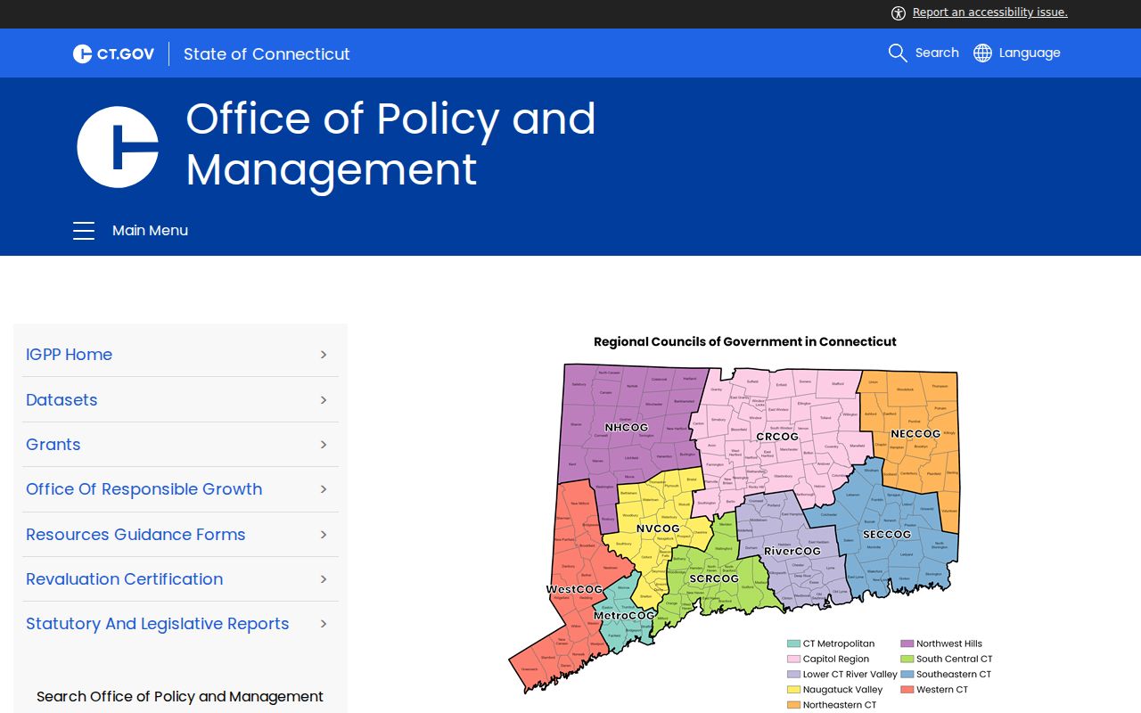
This regional label helps place civic data, but it does not replace Wethersfield's parcel map or define an immediate neighborhood.
Protect Privacy in Wethersfield Searches
A neighbor lookup cannot reveal every person who lives on a block. The property layer is about ownership and assessment. It may omit renters and household members. Owner mailing and situs addresses can differ. Utility, delivery, and other private account data are not a substitute. Protected voter or participant addresses may also be withheld or replaced under Connecticut programs.
Keep the scope small. Save only the parcel facts, district context, or community source needed for a lawful purpose. If a map result is unclear, ask the assessor or record custodian about the field rather than searching for more personal data. Never publish a block roster assembled from sources created for different reasons.
Lawful use. Use Wethersfield neighbor records for civic awareness, property questions, reconnecting, or personal safety. Never watch, threaten, expose, or harass another person.